Best practices in 3D mapping:
In this article we explore 3D mapping technology, highlighting its role for those who work with underground infrastructure. We delve into the intricate process of 3D mapping, covering data acquisition, processing, and the addition of textures to create detailed and realistic 3D models.
How 3D mapping works?
3D mapping begins with data acquisition and processing. This crucial phase lays the foundation for creating a detailed 3D model of the target environment.
Once the model is generated, the next step involves the intricate process of texturing. With the addition of textures, the model gains depth and realism, ready to be analysed and visualised using specialised software. The nuances of this process may vary, adapting to the specific application and techniques utilised.
1. Diverse Capturing Techniques in 3D Mapping
In the vast landscape of 3D mapping, several techniques play pivotal roles, each offering unique advantages.
-
Lidar Scanning:
Utilising laser beams, Lidar scanning measures distances to meticulously create a 3D model of the environment. This technique finds applications in urban planning, construction, and other fields requiring accurate and detailed environmental information. -
Photogrammetry:
This technique harnesses photographs taken from different angles to construct a 3D model of an object or environment, providing a visual richness to the final representation. -
Stereo Vision:
By utilising two cameras and comparing images from both, stereo vision creates a nuanced 3D model of an object or environment, enhancing depth perception.
3D mapping technologies offer a diverse toolkit to craft precise, realistic representations. The selection of a specific technique, or a combination thereof, hinges on factors such as the desired level of detail and the size and complexity of the object or environment being mapped.
Each technique brings its strengths and limitations to the table, allowing for a tailored approach to meet the unique requirements of diverse applications.
2. Georeferencing
The second step to 3D mapping is to georeferenced the 3D scene into world coordinates. There are two main approaches to this:
- Continuous positioning of the sensor using GNSS (satellite positioning).
- Using ground control points, ie known points to which the relative captured 3D model can be fitted.
3. Utilization and visualisation
3D models can be visualized to the user as point clouds or mesh models. A point cloud is projecting points and turning the point cloud so the user can imagine a 3D scene.
A mesh is lines or surfaces generated between the points to generate a 3D structure that can be illuminated to generate a 3D scene. The 3D model is then typically used to derive data from such as dimensions, location of certain items in the scene etc.
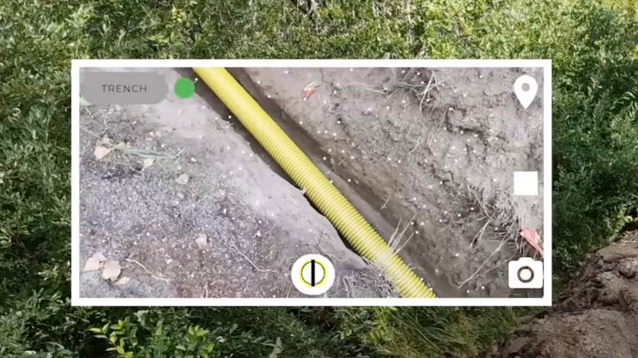
For underground infrastructure the location of pipes and cables are typically what is the objective to map as well as point objects such as cabinets, poles etc. The end results might be 2D or 3D lines and Feature of Interest Points that are then recorded in GIS systems.
1. Comprehensive Spatial Visualisation
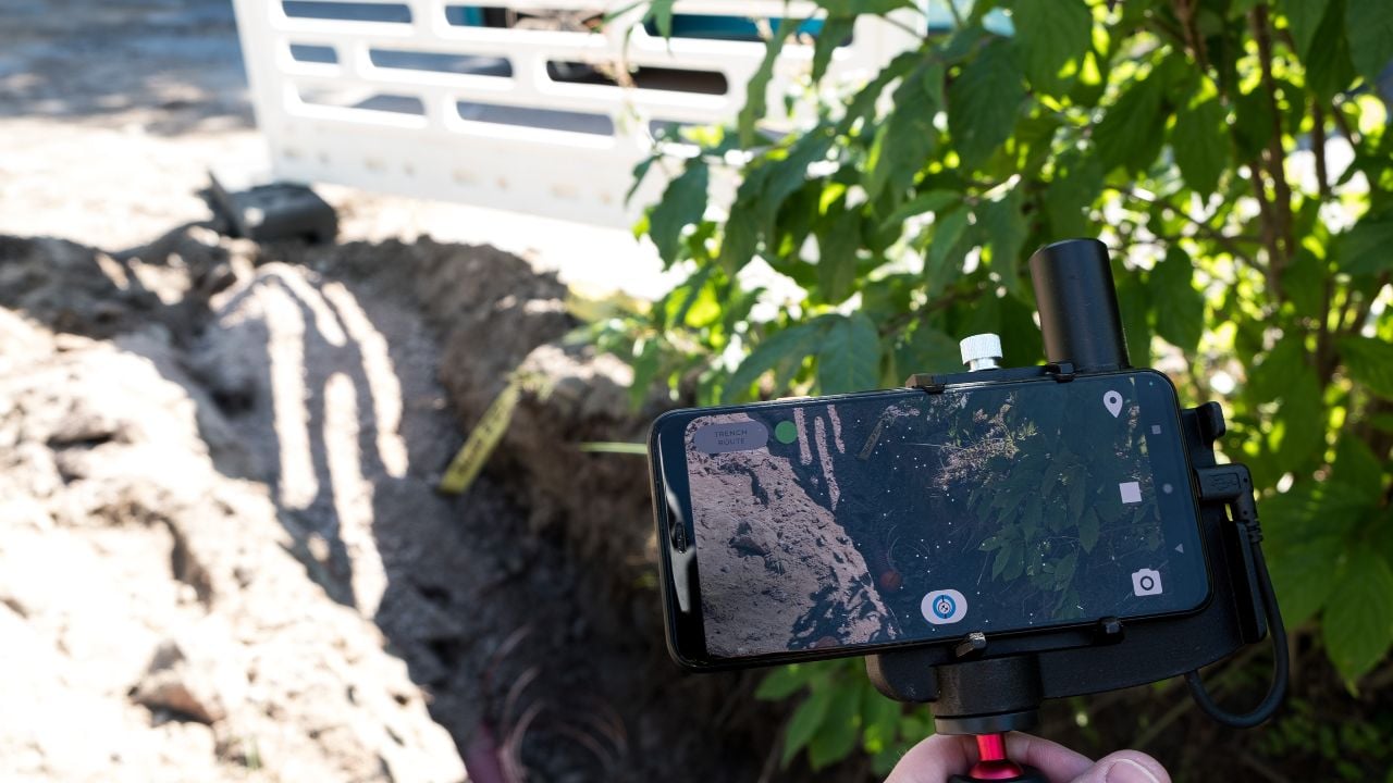
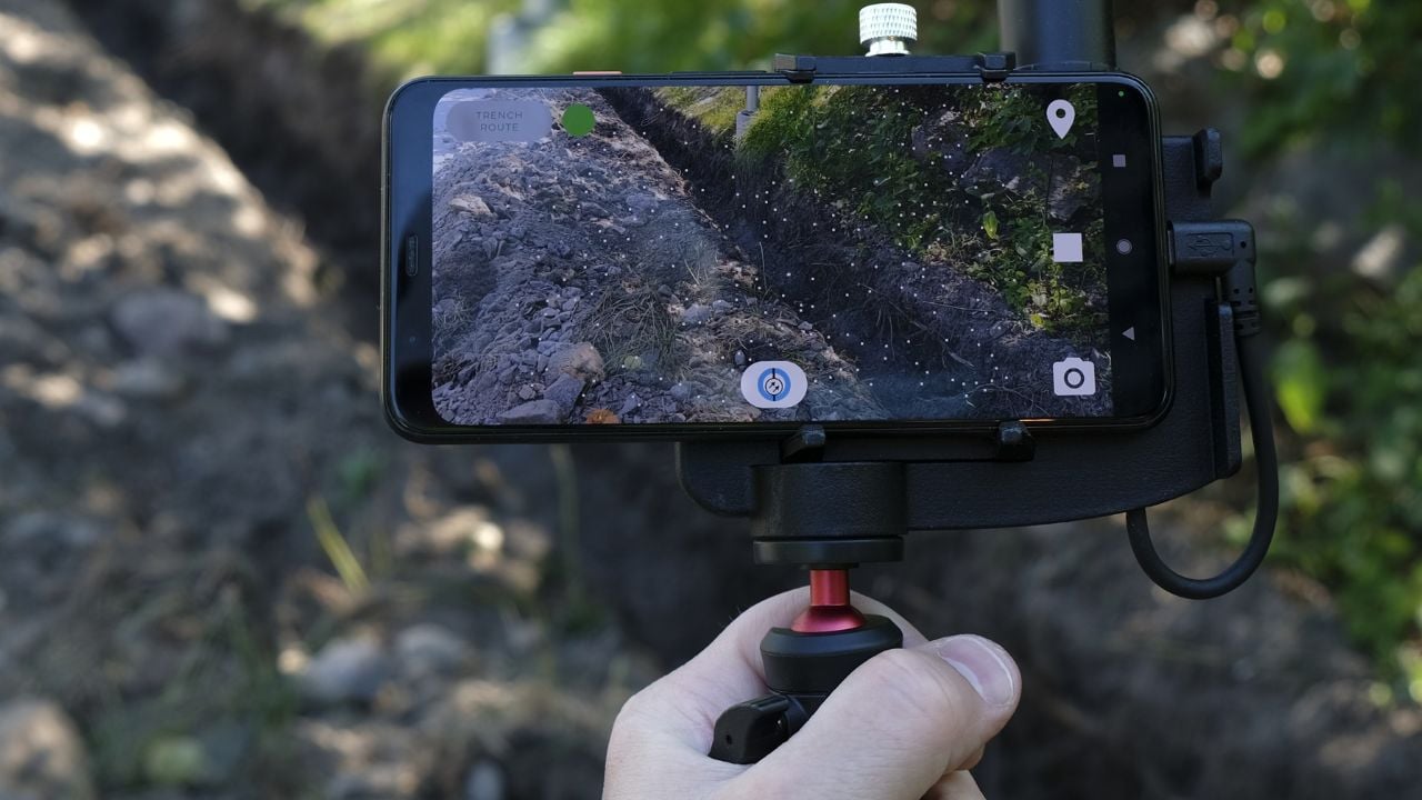
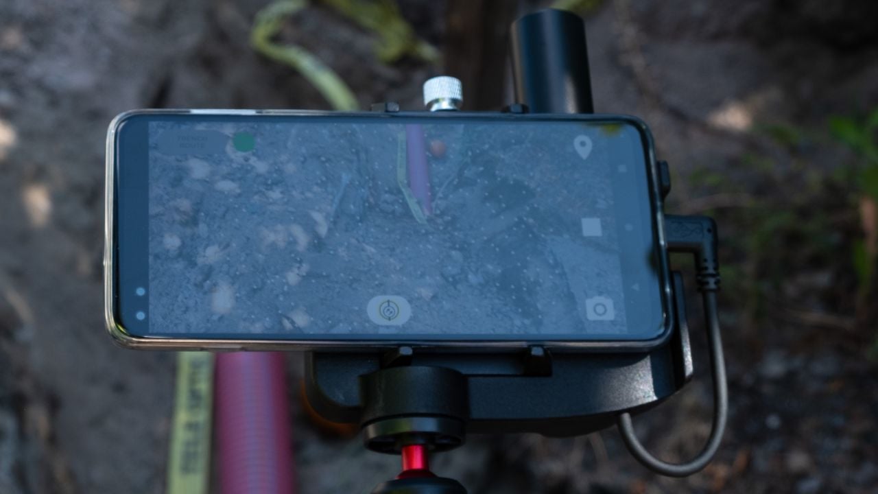
2. Trench Mapping for Cable Routes
3. Comprehensive As-Built Documentation
As-builts and as-built drawings play a crucial role in cable mapping, serving as the blueprint for accuracy.
4. Minimised risk of cable damage during installation or excavation
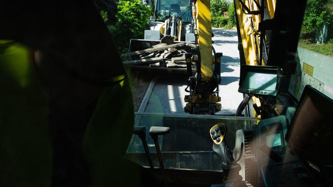
Challenges in cable mapping often arise due to the complex nature of the underground environment. 3D trench mapping becomes the solution, allowing for a detailed understanding of the subterranean landscape.
5. Enhanced Collaboration with Point Cloud Mapping
Fiber Rollout and Fiber Trenching with 3D Mapping
By leveraging trench-level detail, project managers can streamline installation timelines, reduce the risk of costly rework, and minimize disruption to surrounding infrastructure. The resulting 3D trench models also serve as comprehensive as-built records, ensuring that fiber routes are documented for maintenance, upgrades, and future expansion.
For contractors and municipalities, 3D mapping transforms fiber rollout from a reactive process into a proactive one — enabling data-driven decision-making, safer excavations, and faster deployments.