


Precise underground data that infrastructure owners, contractors, and utilities rely on across Europe

Want to see Groundhawk in action?
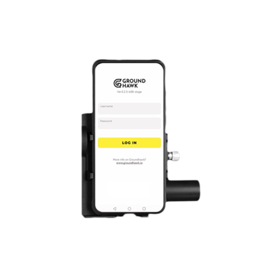
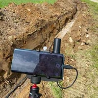
Groundhawk's 3D scanning and AI-driven reality capture transforms how underground fiber and electricity networks are mapped and documented. With Groundhawk, 3D as-built mapping is captured in real-time by the contractor already on worksite. This improves work quality, reduces errors, and enhances the efficiency of the entire organisation.
Book an online demo session with us and you'll discover how contractors across the Europe are using real-time 3D scanning technology for surveying and documentation.


Say goodbye to unnecessary costs
Modern network construction is increasingly real-time, GPS-based, and fully digital.
Use the calculator to find out a rough potential of cost savings by using Groundhawk instead of traditional mapping and documentation. Estimate the current situation at your worksites and see the difference.
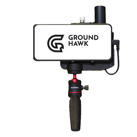
Real-time as-built documentation: With Groundhawk it is easy to meet accuracy standards
Precise
location
- GNNS + RTK based satellite navigation.
- Camera and sensor assisted GNSS navigation.
- 10 cm accuracy on mapping in x, y and z.
3D
point cloud
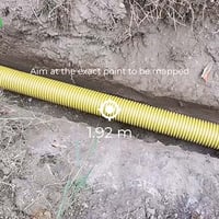
- Scan every meter of the trench in 3D.
- Based on stereo vision point cloud capture.
AI
analytics
- Use AI and 3D modelling to automatically derive cable location and depth.
- No manual processing of 3D data needed.
Next: Download Groundhawk brochure
Groundhawk in a nutshell
Discover how using Groundhawk changes underground cable mapping and documentation - download the brochure to find out how you can get ahead of competition.
.png?width=1414&height=2000&name=Groundhawk%20(2).png)