Trusted by forerunners of critical infrastructure
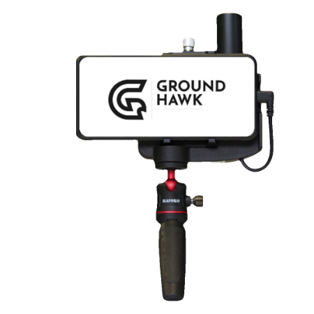
Groundhawk makes documenting the exact location of underground cables faster and cost-efficient. Real-time as-built documentation ensures high quality results.
That is why forerunners in the field of critical infrastructure use Groundhawk when they build networks.
Leading prime contractors in Europe use Groundhawk when they document world-class fiber and electricity networks


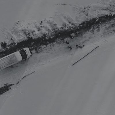
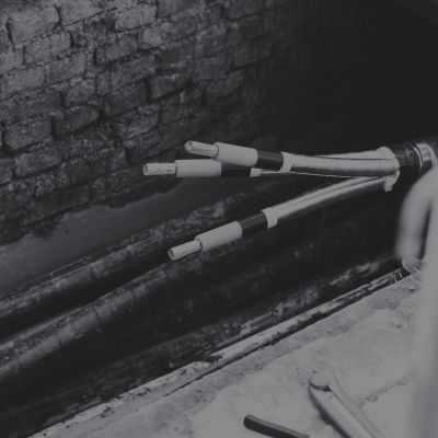
Fiber and electricity networks mapped with Groundhawk


-1.jpg?width=400&height=400&name=map%20(2)-1.jpg)
-1.jpg)
-1.jpg)
-1.jpg)
-1.jpg)
-2.jpg)
-1.jpg)
-1.jpg)
-2.jpg)
-2.jpg)