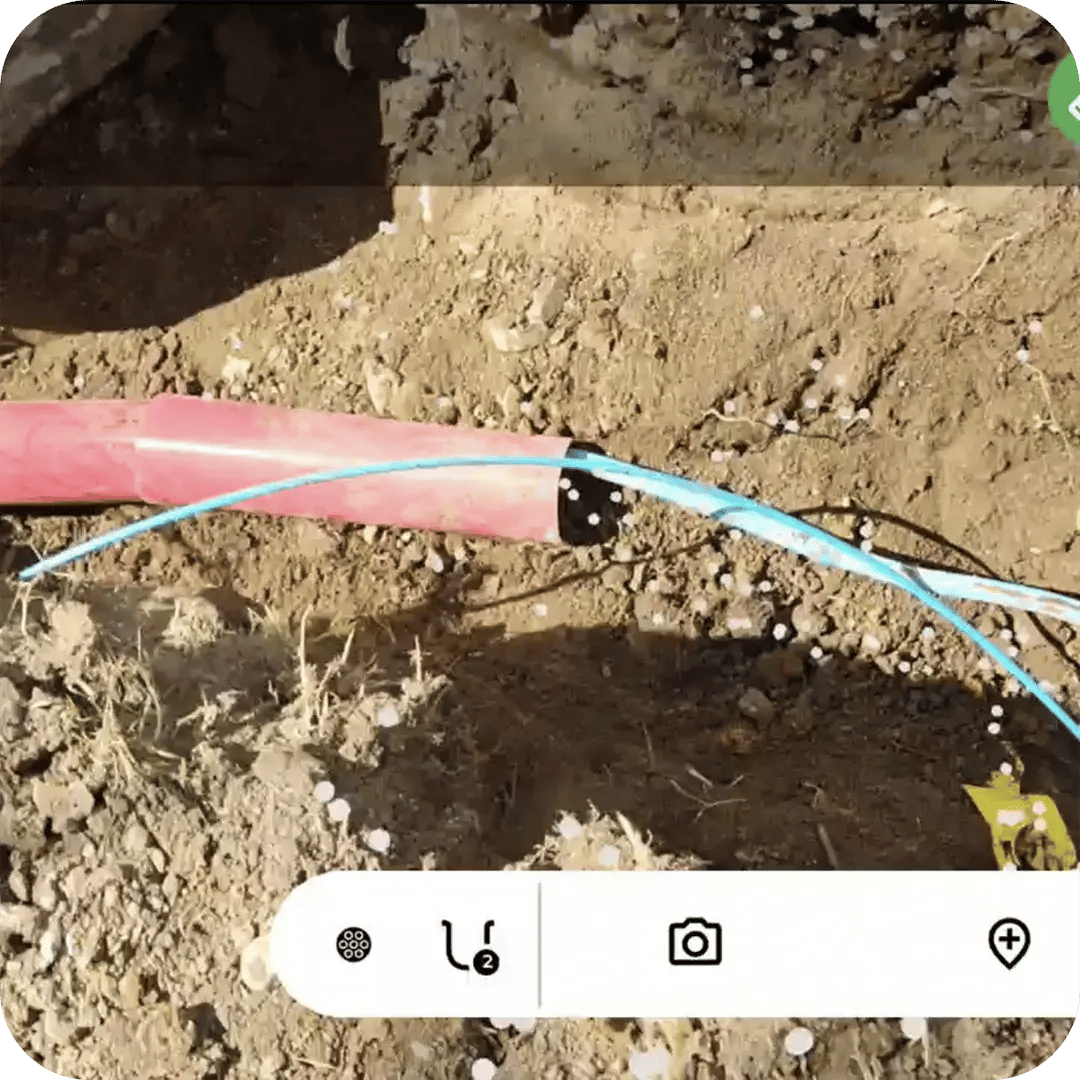
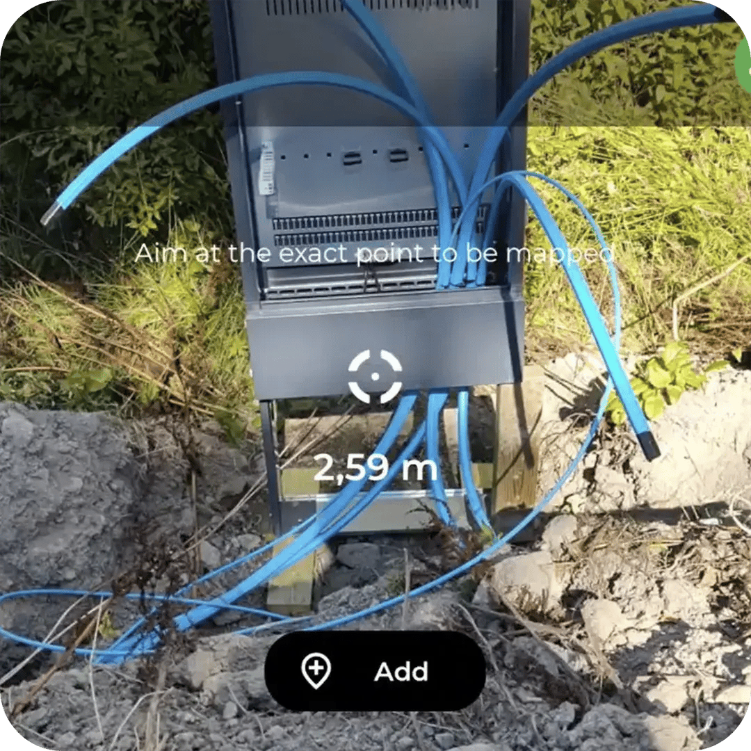
Industrial sites host some of the densest underground infrastructure there is: high-voltage power, fiber backbones, communication systems, grounding networks, and water and gas lines, often within a few metres of each other.
Groundhawk gives site owners a centralized 3D map of that infrastructure, kept up to date through every expansion, retrofit and upgrade.
Open the existing network on the map before excavation starts. Every documented cable, duct and point object is shown in 3D, so crews work from facts, not old drawings or memory.
Field teams map the installed network from the open trench as work progresses. The record captures what was actually built, including deviations, crossings and changes made on site.
Industrial sites are built in phases. Each new project, repair or upgrade adds verified data to the same dataset, gradually replacing incomplete legacy records with accurate 3D documentation.
An FTTH/X (Fiber to the Home / Fiber to the X) network is a high-speed broadband communication system that uses fiber-optic cables to replace traditional copper wires for all or part of the "last mile" connection to end users.
Fiber construction covers three broad situations that share the same documentation problem: backbone routes between cities, exchanges, data centres, and mobile sites; fiber-to-the-home rollouts made up of large numbers of short connections; and dedicated business or industrial connections to offices, factories, hospitals, campuses, and data centres.
The physical network is largely the same in all three. It includes fiber cables, main ducts and sub-ducts, chambers, handholes, cabinets, splice locations, road crossings, building-entry points, façade sections, indoor terminations, and connection points to other networks.
A single project commonly combines several installation methods. Open trenching may be used along one section, plowing along a rural roadside, horizontal directional drilling beneath a road, impact moling beneath a driveway, and existing ducts within an urban area.
Work is usually divided between several contractors and crews operating at the same time, across long rural distances on backbone projects, across hundreds or thousands of addresses on access projects, and inside controlled private sites on business connections. The final record must still form one continuous and coherent dataset.
Deviations from plan are normal. Routes change because of landscaping, underground obstacles, property-owner requirements, existing ducts, dense industrial infrastructure, or a different building-entry point than the one designed.
The main documentation challenge is therefore consistency: recording the actual installed route and every significant asset the same way across long distances, high connection volumes, and changing construction conditions.
Data centers, logistics hubs and large manufacturing plants are characterized by dense, high-criticality utility networks. A single site can combine high-voltage power grids, extensive fiber backbones, communication systems, grounding networks, and water or gas lines.
Construction on these sites is rarely a one-off. It is iterative, with frequent expansions, retrofits and upgrades carried out while the facility stays in operation.
The concentration of underground assets creates a high risk of utility strikes whenever new excavation begins. One damaged cable can mean costly repairs, safety incidents and unplanned downtime.
At the same time, the operational need for high uptime makes accurate maintenance and fast fault resolution critical. Facility managers need to know exactly where each asset is and how it connects.
Conventional record-keeping is often not enough. Paper drawings, scattered files and drawings that describe the plan rather than the finished installation cannot keep up with the density and pace of change on an industrial site.
Groundhawk provides a centralized 3D mapping solution that helps site owners maintain an accurate digital record of complex industrial infrastructure throughout the site’s lifecycle.
Every construction phase is documented from the open trench by the team already on site. Cable and duct routes are recorded in 3D with depth, and cabinets, joints, connection points and other point objects are captured with their 3D position and image evidence.
For example, a data center expansion may add a new power feed and fiber route next to live cables from earlier phases. With Groundhawk, crews see the existing network before excavation, map the new installation as it goes into the ground, and hand over a record that slots straight into the facility’s asset management system.
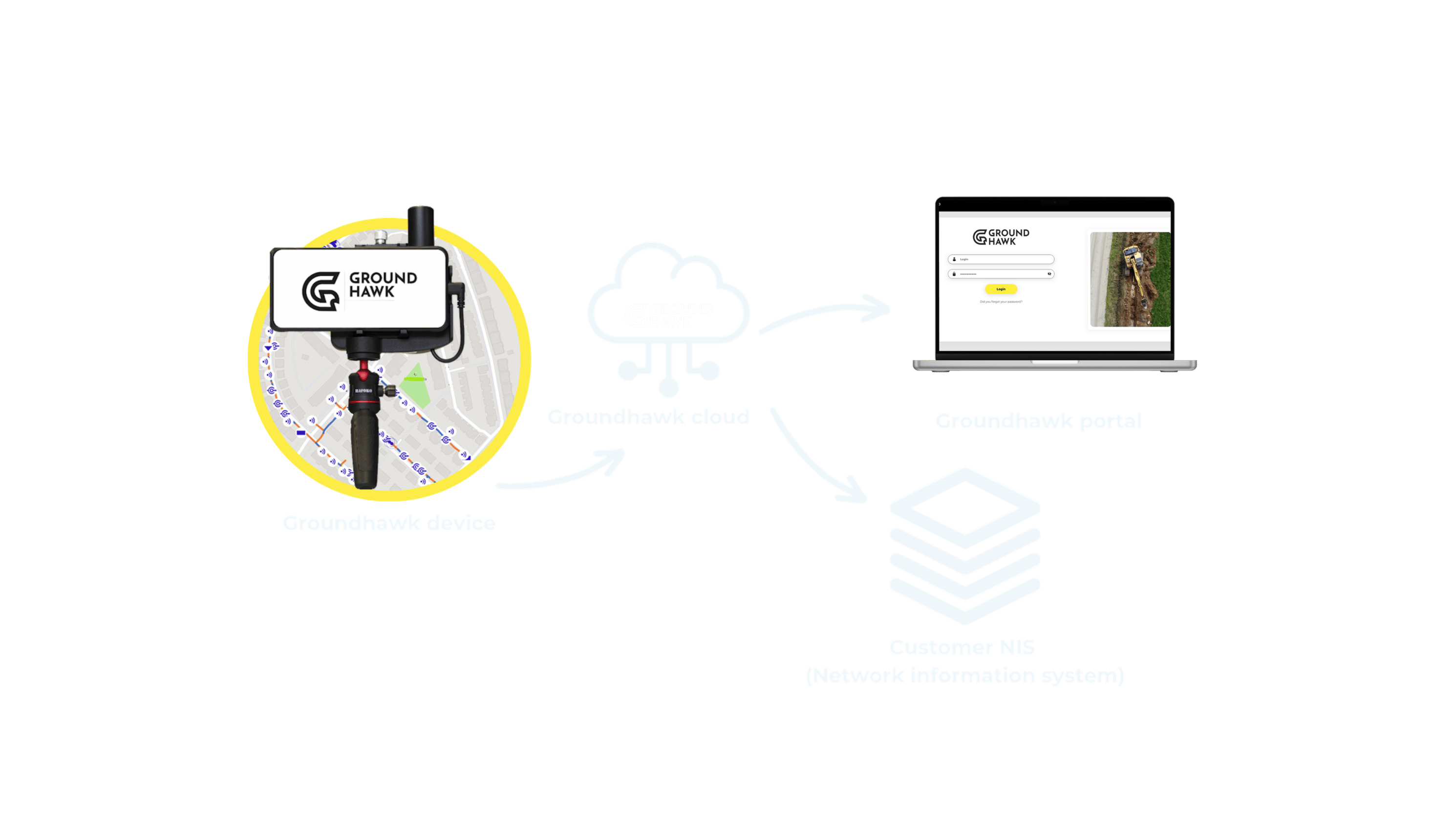
Because the method stays the same regardless of installation technique or crew, every team on site produces data in the same format, whether they are laying a new high-voltage feed, extending the fiber backbone between halls, or adding grounding and water lines during a retrofit. Multiple contractors working on the same site, often at the same time, generate one dataset instead of several that need reconciling afterward.
Captured data exports directly into DXF, GeoJSON and KMZ, and integrates with existing NIS systems and the facility’s asset management system. Facility managers, design teams and site owners get an as-built record that matches what was actually installed, not what was planned, without a separate digitization pass.
The result is a site record that stays accurate through every expansion, retrofit and upgrade, whatever the installation method or contractor.

Cabinets, customer drop-offs and customer end points. Marker balls, connection points and any other point of interest. 3D position and photo evidence recorded together at the point.
No separate surveying visit to schedule, wait for or pay for. The mapping cost comes out of the work that is already happening.
Easily exportable, or integrated into your own system through the API. Nothing is left in a phone gallery or a glovebox.
What was done, when it was done and how it was done. Visible to the project manager and the network owner without a phone call.
Cabinets, customer drop-offs and customer end points. Marker balls, connection points and any other point of interest. 3D position and photo evidence recorded together at the point.
Walk through the installation techniques field teams actually use and see how Groundhawk captures accurate as-built data at each stage, regardless of construction method.
No separate surveying visit to schedule, wait for or pay for. The mapping cost comes out of the work that is already happening.
Easily exportable, or integrated into your own system through the API. Nothing is left in a phone gallery or a glovebox.
What was done, when it was done and how it was done. Visible to the project manager and the network owner without a phone call.
A precise 3D map of existing infrastructure significantly reduces the risk of damaging live cables and pipes during excavation. Locate faults, understand connectivity and plan future expansions based on what is actually in the ground.
Book a online demo session with us and you'll discover how leading contractors across the Europe are transforming their approach to surveying and documentation using real-time 3D scanning technology – saving time, cutting costs, and protecting underground assets.