How Groundhawk supports mapping and documentation of Power Networks?
Underground Distribution Networks
Underground power distribution networks include low-voltage and medium-voltage cables, communication cables, grounding conductors, ducts, cabinets, joints, transformers, protection structures, and warning systems.
The cables may be installed in open trenches, ducts, plowed routes, drilled crossings, or mixed construction sections. Several cables may run in parallel, and power networks may share the same construction corridor with fiber, street lighting, or other utilities.
The installation is completed in stages. These may include excavation, bedding material, cable placement, cable separation, protective slabs or pipes, warning tape, backfill, and surface restoration.
Once the trench is covered, much of the construction information is no longer visible. A conventional route line does not show the cable arrangement, separation, protection, crossings, or surrounding conditions.
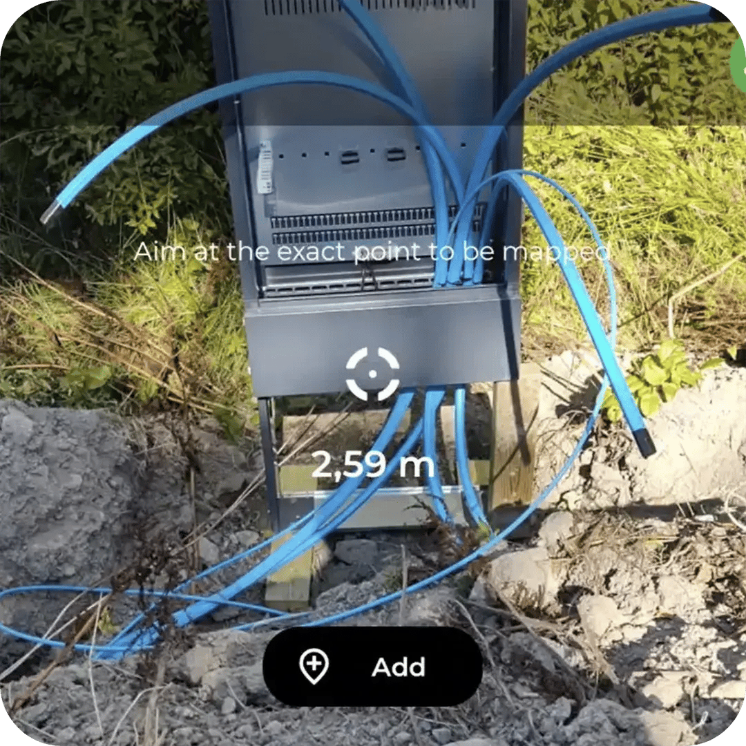
Groundhawk enables the construction team to document the power network while the installation is visible.
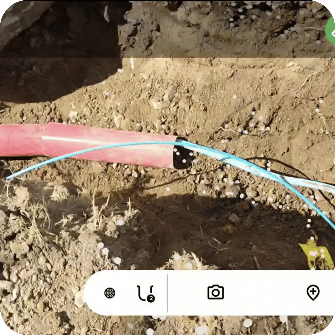
For example, a trench containing three medium-voltage cables and one communication cable can be documented as separate route records. The cable types, identifiers, protection, and depth can be associated with each route.
A joint can be captured as a coded POI with photographs, asset information, and 3D coordinates. This supports remote inspection, quality assurance, contractor handover, and future maintenance.
Overhead Distribution Networks
Overhead power distribution networks consist of poles, conductors, transformers, switches, cabinets, service connections, and transitions between overhead and underground sections.
Construction may involve new pole lines, replacement of old poles, conversion of overhead networks to underground cables, or refurbishment of existing routes.
Documentation requirements include the geographic location of each pole, pole identifiers, equipment, network connectivity, cable spans, customer connections, and underground transition points.
Groundhawk can record each pole as a 3D POI with a defined type, code, asset identifier, condition, and photographs.
For example, a newly installed rural pole line can be mapped pole by pole. Photographs can document the equipment on each pole, while route information can describe the connection between poles.
Where an overhead line transitions to an underground cable, both network sections can be linked in the same dataset. This information supports inventory management, inspection, vegetation-management planning, maintenance, and future network upgrades.
Renewable-Energy and Power Grid Connections
Wind farms, solar parks, battery-storage facilities, and Transformer stations projects include extensive power cable and often also other networks.
The projects often cover large areas and contain several parallel networks, including medium-voltage cables, low-voltage cables, fiber, communication cables, control cables, and grounding systems.
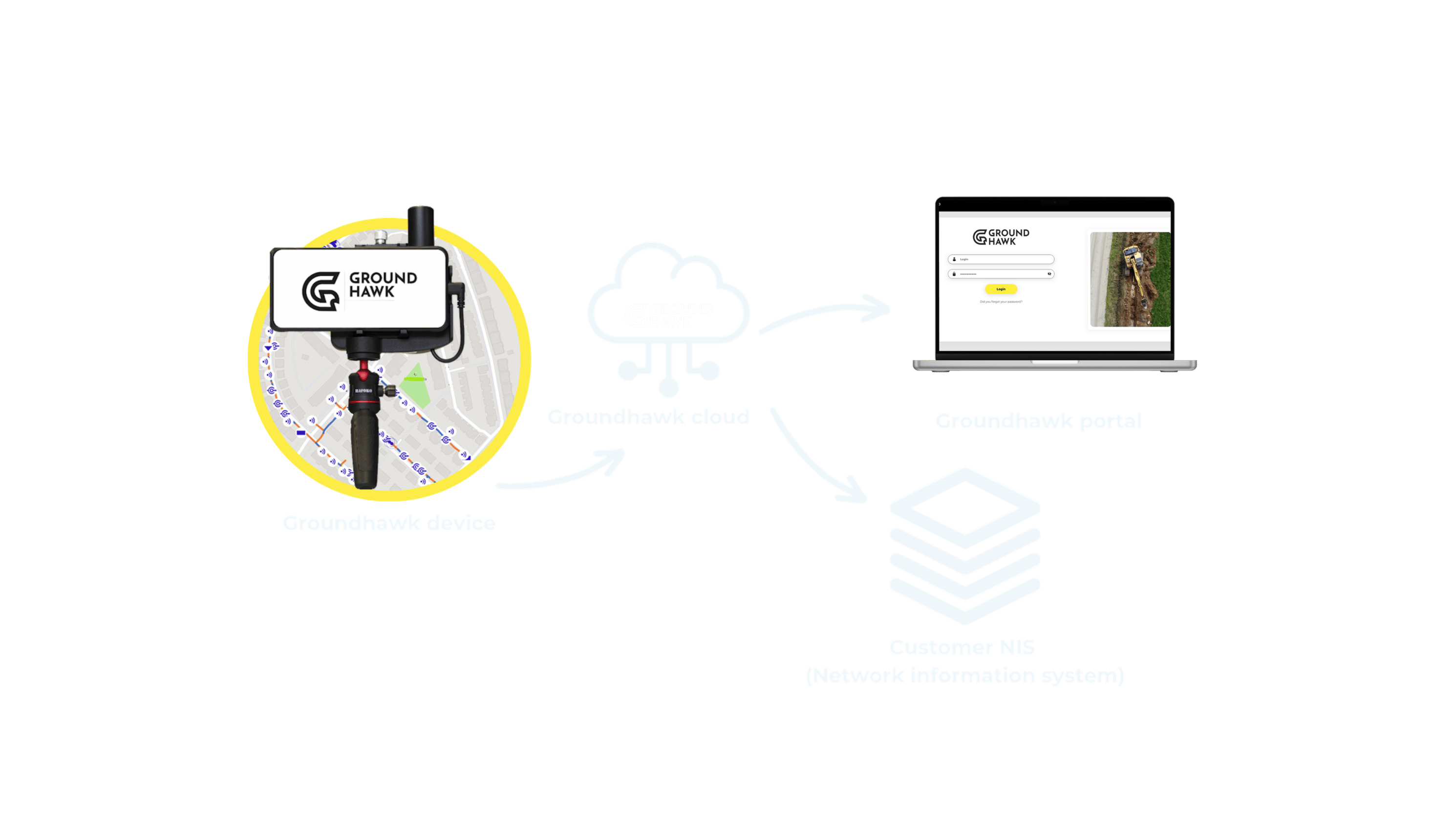
Groundhawk can document the network during construction and keep an always up-to-date accurate as-build of the build-out where same places might be dug up in different phases of the project.
For example, the route between a wind turbine and a substation can be mapped together with the associated fiber and control cables. A road crossing can be documented separately and connected to the surrounding route.
The resulting record supports project handover, maintenance planning, fault localisation, future expansion, and asset management.
Plan, build and ensure quality of Power Networks
Ducts and cables
3D cable and duct routes with automated depth measurement
Points of Interest
Every cabinet, drop-off and connection point in 3D, with photo evidence