How Groundhawk supports mapping and documentation of Fibre Networks?
The Challenge: The documentation lacks consistency
Fiber construction covers three broad situations that share the same documentation problem: backbone routes between cities, exchanges, data centres, and mobile sites; fiber-to-the-home rollouts made up of large numbers of short connections; and dedicated business or industrial connections to offices, factories, hospitals, campuses, and data centres.
The physical network is largely the same in all three. It includes fiber cables, main ducts and sub-ducts, chambers, handholes, cabinets, splice locations, road crossings, building-entry points, façade sections, indoor terminations, and connection points to other networks.
A single project commonly combines several installation methods. Open trenching may be used along one section, plowing along a rural roadside, horizontal directional drilling beneath a road, impact moling beneath a driveway, and existing ducts within an urban area.
Work is usually divided between several contractors and crews operating at the same time, across long rural distances on backbone projects, across hundreds or thousands of addresses on access projects, and inside controlled private sites on business connections. The final record must still form one continuous and coherent dataset.
Deviations from plan are normal. Routes change because of landscaping, underground obstacles, property-owner requirements, existing ducts, dense industrial infrastructure, or a different building-entry point than the one designed.
The main documentation challenge is therefore consistency: recording the actual installed route and every significant asset the same way across long distances, high connection volumes, and changing construction conditions.
The Solution: Document the installed network as construction progresses
Groundhawk enables field teams to document the installed network as construction progresses. Instead of relying on the planned alignment, the record reflects the deviations, crossings, obstacles, and changes made on site.
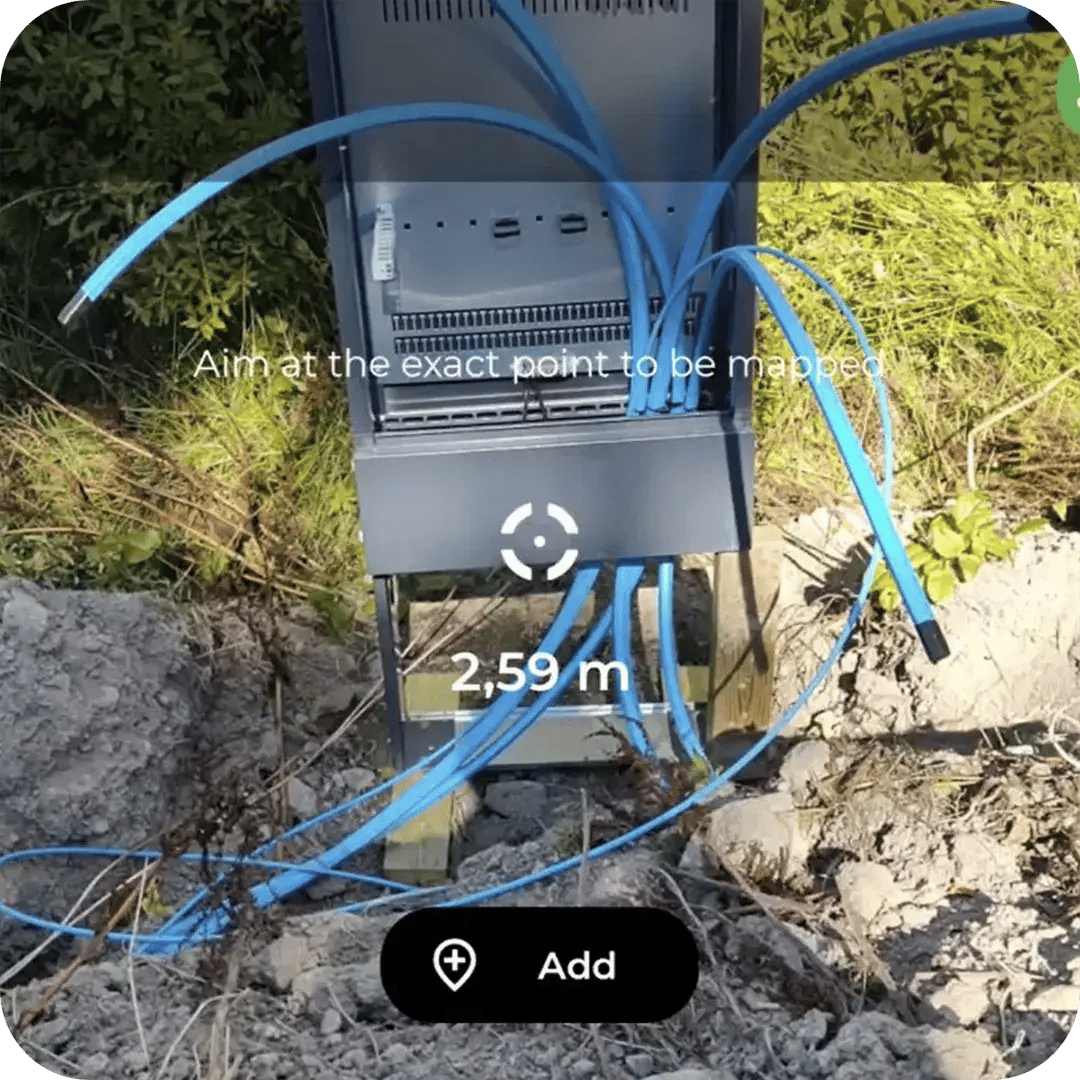
Crews capture the route with RTK positioning while the trench, plow track, or bore path is still open. Each cable, duct, chamber, and splice point is recorded in 3D with centimeter-level accuracy, alongside geotagged photos and depth data. There is no separate survey step and no specialist surveyor required. The person installing the network is the person documenting it.
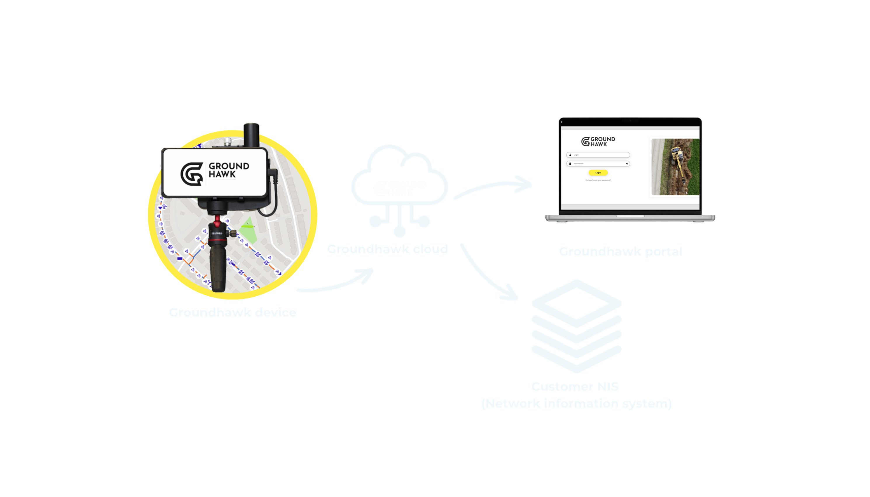
Because the method stays the same regardless of installation technique or crew, backbone teams working rural roadsides, FTTH teams covering hundreds of addresses, and business-connection teams inside private sites all produce data in the same format. Multiple contractors on the same project generate one dataset instead of several that need reconciling afterward.
Captured data exports directly into DXF, GeoJSON, and KMZ, and integrates with existing NIS systems. Design teams and network operators get an as-built record that matches what was actually installed, not what was planned, without a separate digitization pass.
The result is a network record that stays accurate through changes on site, whatever the project type or installation method.
Plan, build and ensure fiber construction quality
Ducts and cables
3D cable and duct routes with automated depth measurement
Points of Interest
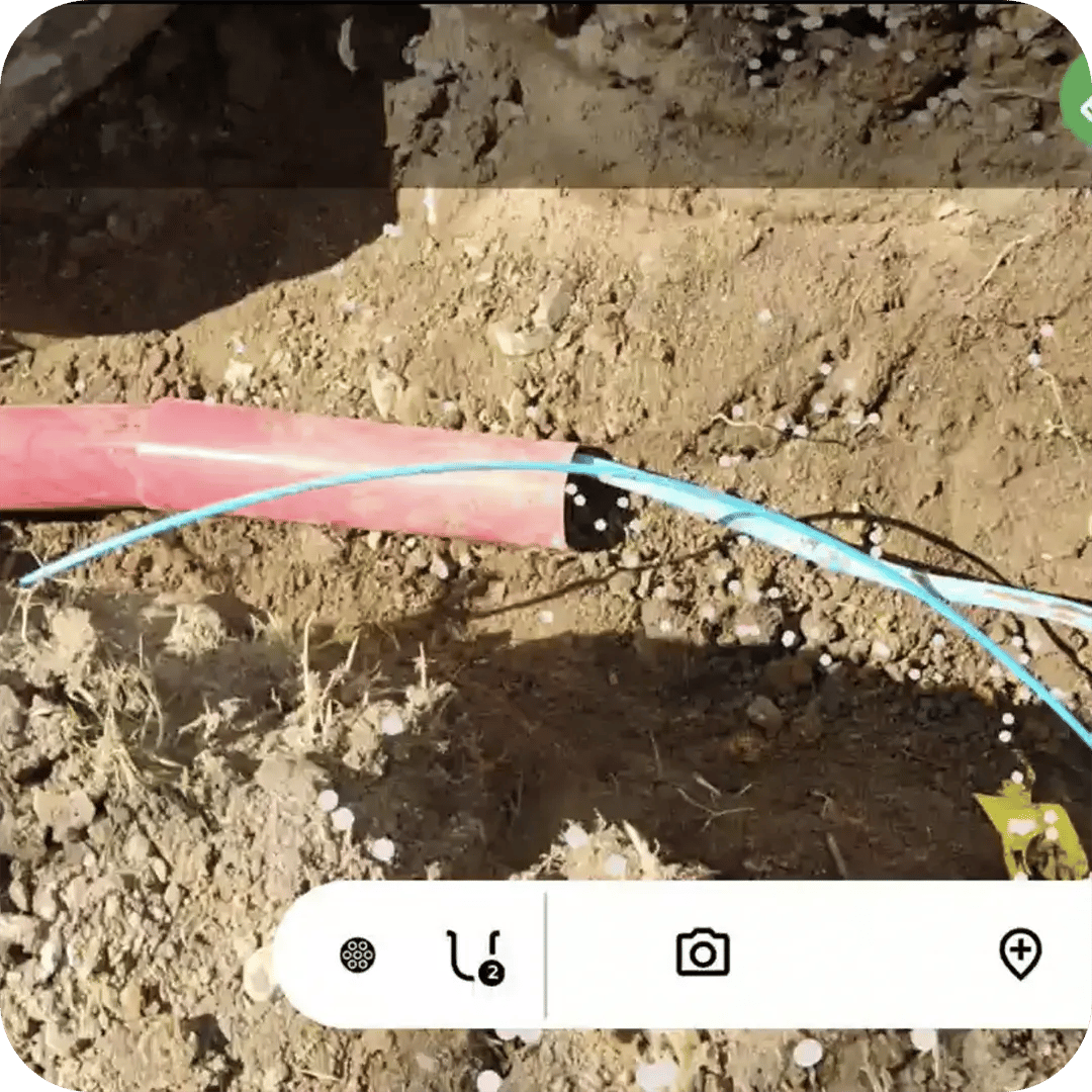
Every cabinet, drop-off and connection point in 3D, with photo evidence